October 29, 2020 2 Weeks
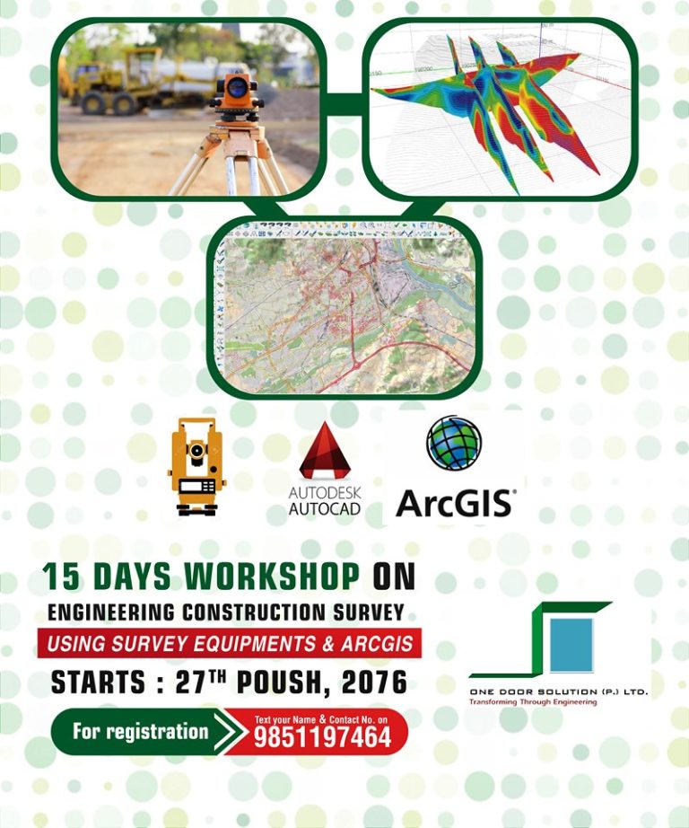
One Door Solution has been providing 15 days workshop on Engineering Construction Survey using Survey Equipment & ArcGIS since early 2017. We have successfully completed 6th batch until the mid of January, 2020.
Surveyors depend on a variety of software and technology to gather existing information, collect new information, analyze data, produce plans, manage projects, and deliver accurate data. Geographic information system (GIS) technology brings this functionality and more to one place, providing a central location to conduct spatial analysis, overlay data, and integrate other solutions and systems. GIS is built on a database rather than individual project files, enabling surveyors to easily manage, reuse, share, and analyze data, saving them time. GIS provides the tools necessary to research, develop, implement, and monitor the progress of a project and manage site location, environmental impact mitigation, economic analysis, and other critical facets. Scenario-based analysis can then be conducted, giving communities, government agencies, engineers, and others involved a thorough understanding of the project’s impact.
Software & Hardware Tools Exposed: ArcGIS, AutoCAD, SW DTM, Total Station, GPS & Level Machine
Who can attend?

October 29, 2020 5 weeks

Leave a Reply